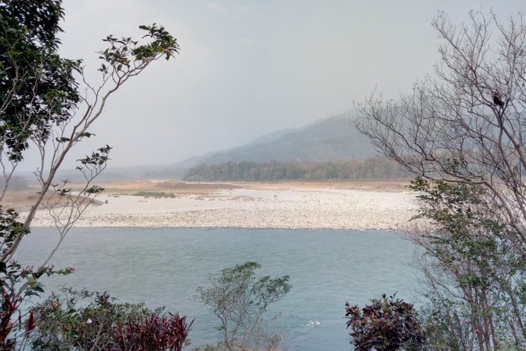
- Ecology and conservation helped determine the limits of the Kangchenjunga transboundary conservation initiative between Bhutan, India and Nepal.
- A review of the lessons from the initiative indicates that participatory and iterative boundary delineation, transboundary cooperation, identification of a lead institution, ensuring the global-local-global feedback cycle and regional data sharing are key components for implementing transboundary landscape programmes in the region.
- The lessons learnt could be applied to transboundary areas such as the Sundarbans in India and Bangladesh and the Manas complex between Bhutan and India.
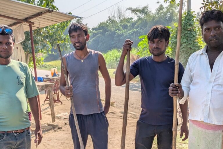
Elephant herds migrating across boundaries from Assam in India to Nepal are increasingly coming in contact with humans in their natural habitat, causing a rise in conflict situations. A three-country conservation initiative in the region aims to limit such conflicts and facilitate smooth movement of wildlife across human-made boundaries, among other ecological, conservation and developmental goals.
Twenty years in the making, the Kangchenjunga Landscape Conservation and Development Initiative (KLCDI) is being implemented by India, Nepal and Bhutan and could serve as a model for transboundary cooperation in other similar landscapes in the region.
The decision to bring areas prone to human-wildlife conflicts under its ambit has played a key role in chalking out the boundaries of this transboundary conservation initiative between the three South Asian neighbours in the Hindu Kush Himalayas, researchers said.
Bridging the science-policy gap, the landscape evolved from a concept to a conservation initiative, shaped by global and regional events.
A review of the lessons from the initiative indicates that participatory and iterative boundary delineation, transboundary cooperation, identification of a lead institution, ensuring the global-local-global feedback cycle, and regional data sharing are key components for implementing transboundary landscape programmes in the region.
The 25,085 square km Kangchenjunga landscape ranges in elevation from 40 to 8,586 metres and is home to more than seven million people while hosting more than 4,500 species of plants and at least 169 mammal and 618 bird species.

The initiative aims to conserve and manage the landscape for sustained ecosystem services that ultimately contribute to people’s livelihoods within it.
During its genesis, the boundary of the Kangchenjunga landscape changed with evolving conservation priorities. Three major themes – ecology and conservation, livelihoods and development, and management and planning – were applied to outline the landscape boundary.
The landscape is globally significant with one Ramsar Site, 22 Important Bird and Biodiversity Areas (IBAs), and 11 Important Plant Areas (IPAs) for medicinal plants.
The criteria of including areas prone to human-wildlife conflicts resulted in the inclusion of lowland grasslands and moist deciduous forests in the southern portion of the landscape.
One example of how ecology and conservation came into play while tracing the landscape limits, is by looking at elephant migration in the lowland areas of the landscape and the need for cooperation for conservation, according to review co-author Nakul Chettri of the International Centre for Integrated Mountain Development (ICIMOD), a key facilitator of the initiative.
“The elephant herds have been practising migration as far from Assam to Nepal seasonally since centuries. With the increasing human interventions in their natural habitat, these migration patterns have given rise to conflict. The conflict is becoming severe in terms of human as well as elephant deaths and other economic loss through crop damage,” Chettri said.
“The Kangchenjunga landscape is trying to address this through transboundary cooperation by developing strategies jointly to minimise the conflict and conserve elephant population,” Chettri told Mongabay-India.
ICIMOD, a regional knowledge and enabling centre based in Kathmandu, Nepal, is working in four of the six identified landscapes for transboundary cooperation landscapes.
“These learnings have been useful for other landscapes ICIMOD is working on but could also be useful for other transboundary areas such as Sundarbans in India and Bangladesh and Manas complex between Bhutan and Assam (India). It could also apply to the elephant corridor between Mizoram and Bangladesh and Mizoram and Myanmar, between Bhutan and Arunachal,” added Chettri.

Lessons learnt in syncing conservation, science and livelihoods
Protected areas alone might not be adequate for conserving the dwindling biodiversity. With this realisation, the landscape approach at the transboundary level was advocated by the Convention on Biological Diversity in 2004 through the Seventh Conference of Parties meeting.
From 1997 to the present day, the process of establishing the Kangchenjunga landscape initiative went through various phases.
“The first phase was to explore the need for a transboundary approach based on understanding the challenges followed by groundwork on feasibility, conceptualisation, consensus building among the countries, participatory planning and developing feasibility report, conservation and development strategy and regional cooperation framework,” Chettri said.
Then individual countries work with the criteria developed together to delineate the areas to be included in the transboundary landscape.
“These individual areas were then combined together to come up with a transboundary landscape. These outlined areas are endorsed by all three countries, mainly to facilitate the implementation of the conservation and development strategy,” said Chettri.
The transboundary initiative, aligned to national priorities on sustainable development and biodiversity conservation, took the form of the Kangchenjunga Landscape Conservation and Development Initiative (KLCDI) implemented in 2016.
The know-how on challenges, learnings and best practices acquired from the transboundary initiative was eventually distilled into the KLCDI.
Another takeaway was that transboundary cooperation requires respect for national sovereignty given the shared cultures in Kangchenjunga and the fact that ecological processes in the Kangchenjunga landscape also transcend geopolitical boundaries.
With 19 protected areas under various management regimes in the landscape, two are globally significant. The Kangchenjunga Conservation Area (KCA) in Nepal was designated a community conserved area in 2006, while the Khangchendzonga National Park (KNP) in Sikkim-India was designated a UNESCO World Heritage Site in 2016 under the mixed category of nature and culture.
In most areas of the landscape where there are no major physical barriers for wildlife movement, species with large home ranges are known to migrate across geopolitical barriers.
For instance, a snow leopard was tracked moving in and around Kangchenjunga Conservation Area in Nepal and Khangchendzonga Biosphere Reserve in Sikkim, India and Asian elephants from West Bengal migrate to Eastern Nepal and Bhutan and even further east to Assam.

However, assuming the leadership role by one key relevant institution at the country level is important to ensure both national sovereignty, as well as effective stakeholder participation.
Within the Kangchenjunga landscape, lead roles are undertaken by Ministry of Agriculture and Forests in Bhutan, Ministry of Environment Forest Climate Change in India, and Ministry of Forests and Environment in Nepal, who ensure alignment of the landscape program with national priorities and programs.
Addressing data-deficiency on the Hindu Kush Himalayas
The KLCDI also facilitates the global-local-global feedback cycle which means that the initiative is shaped by customisation of global agenda at the local level and also providing examples of good practices on-ground to the global level, explained Chettri.
Applying global concepts at the local level requires the formulation of strategies and actions that match with the local context. In the Kangchenjunga landscape, this involved a rigorous process of developing implementation plans for the project at both national and regional levels.
At the other end, ongoing pilot projects under the initiative will generate scientific data to be fed into data analyses processes at the national and regional levels. This, in turn, can contribute to global assessments and frameworks and address the data-deficiency on HKH in assessments such as the IPCC.
In 2007, IPCC’s Fourth Assessment Report (AR4) underscored the HKH as a ‘data deficient’ region.
Knowledge sharing has also firmed up the transboundary collaboration under KLCDI.
“Among a variety of knowledge products, scientific data is a valuable resource that can be shared at the transboundary level in the Kangchenjunga Landscape. One of the regional platforms for sharing data in the HKH region is the online Regional Database System (RDS) and Himaldoc,” said Chettri.

But what’s next for KLCDI?
“We are in the first five-year phase of the 20-year implementation phase. Efforts are being made to connect the dots through pilot projects,” noted Chettri.
Stress is on linking regional tourism to mountain culture and heritage, addressing human-wildlife conflict, yak conservation and preservation of age-old herding culture and making black cardamom, a niche regional product.
“In addition, long term research and monitoring, understanding the value and significance of biodiversity and advocating policy support for tourism, yak and human-wildlife conflict are being emphasised.”
“The programme is looking for resources to move forward focusing on institutional building, developing synergy between different stakeholders within the countries and strengthening the regional mechanism for sustainability of the initiative,” added Chettri.


