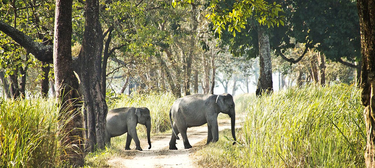
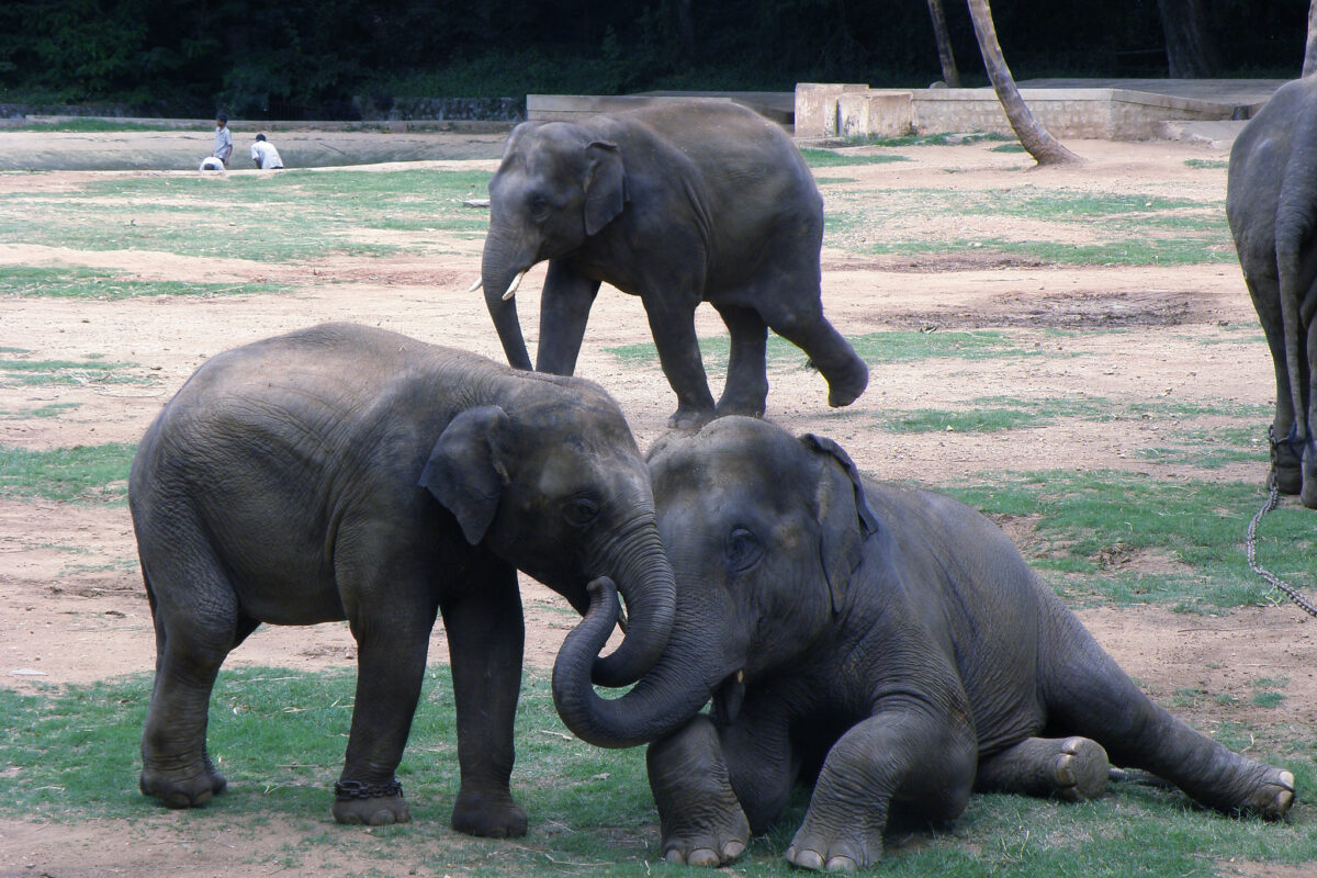
- Researchers have mapped conflict-connectivity areas for the Mysore Elephant Reserve in Karnataka.
- Conflict and connectivity are connected to each other, and have to be looked at simultaneously to address human-elephant conflicts, they say.
- The Karnataka forest department has increased conflict mitigation expenses and streamlined compensation mechanisms transparently; however, conflicts continue to rise.
Fencing is a key conflict mitigation strategy in the Mysore Elephant Reserve in Karnataka, which sees regular cases of human-elephant conflict. Putting up fencing accounts for a significant proportion of the government’s spending. Researchers in a recent study, however, find that the fences along the northern boundaries of Nagarhole–Bandipur National Parks, two contiguous protected areas that support key elephant populations in the elephant reserve landscape, may mitigate conflict but at the cost of connectivity.
The study addresses human-elephant conflict in the elephant reserve through a modelling technique where conflict mitigation and connectivity are looked at together rather than in isolation. The study maps such conflict-connectivity areas and suggests a broad-scale conservation management plan which could be implemented in areas where humans share these landscapes with elephants.

Additionally, to address the conflict, they emphasise that the move to capture and remove 22 elephants from the Alur-Sakleshpur area of the landscape in 2014 because the area was considered to house an isolated elephant population is “misdirected.”
The area was recolonised by elephants within a year of the elephants’ removal. “Our results predict high movement through the area and provide a scientific basis for the expected and observed (post 2014) recolonisation of the area to make a case against reactive removal of elephants from fragmented habitats,” said study author Varun Goswami, senior scientist and director, Conservation Initiatives, a not-for-profit based in northeast India.
“Connectivity and conflict are interdependent; where conflict is high or low depends on connectivity. If an elephant is coming out of a park and sees humans or fences, its movement path will get modified. So conflict itself can modify connectivity. Both these aspects are modelled together in this study, and we see where they clash,” says Divya Vasudev, joint director and senior scientist, Conservation Initiatives, and lead author of this paper.
Mapping movement choices
While mapping animal movement, Vasudev says one needs to understand where the animal has moved, why the animal is making certain decisions and how far has the animal gone?
In India, for instance, if an elephant encounters a plantation versus a crop field, which path will the animal potentially take?
Robert Fletcher, professor, at the Wildlife Ecology and Conservation Department, University of Florida and co-author of the paper says the model uses information on how animals use habitats to predict their movements across landscapes.

“This is a new model that is beginning to be applied throughout the world. Along with elephants, we are currently using it to identify the best places to reintroduce predators (grey wolves in Colorado) to minimise problems, to identify where invasive species may spread to guide management interventions (Burmese pythons in Florida), and other examples for corridor identification.”
In Mysore Elephant Reserve, the researchers surveyed 9100 people, interacted with farmers, asking them if they had seen elephants, and if there was a conflict. The interviews, along with media reports on crop raids were considered, and this data was validated with the model.
Suggested measures
Varun Goswami, explains that there can be four types of locations in any conservation landscape: areas with low conflict, high movement; areas with low conflict, low movement; areas with high conflict, low movement; and areas with both high conflict and high movement.
“We have created a map for the Mysore Elephant Reserve that shows all of these different areas. We have also provided suggestions on optimal conservation strategies for each type of location. This insight, we hope, will help wildlife managers and conservationists to plan for human-elephant coexistence in the landscape.”
According to him, the most difficult space is the connectivity-conflict interface. Connectivity is important for elephant populations, but conflict mitigation is also a priority. Areas where there is high conflict, mitigation should happen through strategies that do not obstruct connectivity.
For instance, instead of fencing elephants into forested areas, the idea would be to fence them out of sensitive human areas, like human settlements, or vulnerable crop growing areas. Negative human interactions with elephants can be averted this way while elephant movement through the landscape can continue.

There is a need for fine-scale information, says Vasudev.
She says, “There are other factors that affect connectivity like linear infrastructure. For instance, if a road is going to appear in the connectivity area, we have to plan for mitigation accordingly.”
Vasudev suggests that secure corridors should be maintained as they are, because land use preservation is critical. Secure corridors, here, are not restricted to forested corridors, but include lands like plantations. This could allow movement of elephants and also serve livelihood needs of people.
Policy can incentivise connectivity-friendly land use practices (e.g., crops that are not eaten by elephants). “Such maps can also be included in the management plans of individual protected areas and the elephant reserve. Systematic monitoring should be done to assess if conflict mitigation measures and connectivity conservation measures are successful. For all of this, it is important that stakeholders work together.”
B. Ramakrishnan, professor, department of wildlife biology, Government Arts College, Udhagamandalam, also a member of IUCN Asian Elephant Specialists Group, emphasised the need to look at elephant conflict history, including land use pattern, habitat fragmentation, etc. as conflicts have been going on for a long time, and it is necessary to understand those changes.
The core of this conflict is habitat fragmentation. Vasudev says, “Every time there is a conflict incident, we talk about fragmentation. It is critical to hit the pause button on fragmentation.”

Ramakrishnan concurs. “Elephants are large animals, needing larger foraging space. Pocketing them into small habitats is not good. As habitats are shrinking, the vegetation and foraging area is also reduced. As a result, food availability is limited for these animals. Further, there are other animals in the space competing for the resource.”
“The elephants get lured by the crops if they are between two protected areas,” says a Karnataka forest department official.
“Farming systems have changed from seasonal to perennial cropping with borewells. The farmers are not willing to shift crops as they make profits; it’s their livelihood,” says Ramakrishnan.
Lack of tolerance
“The only solution for human-animal conflict is co-existence, but there is no tolerance. When an elephant is in a human habitat, and where there were two-three deaths, we have to tackle that problem immediately. Negotiating with the farmers, sitting at panchayat meetings are not helping. When death arises from conflict, people will not be in a position to listen to us,” says a senior Karnataka forest department official.
There is an elephant task force in place to deal with this issue. Every time a conflict happens, the forest department addresses the issue on ground. Over the years, the department has improved their mechanisms, including fences and trenches, but elephants find ways to get past these barriers.
“Whatever we do, the conflicts are increasing every day,” says the official who requested anonymity.
The forest department has set up water holes for elephants, they are removing Lantana camara (an invasive alien plant species) and digging trenches around the parks. Other than this, there is an early warning system and SMS alert. When collared elephants are in a particular area, push messages go to the village residents, warning them not to venture out.
Read more: Ping! Elephants ahead: reducing human-elephant conflict, one SMS at a time
In conflict mitigation, the forest department spends on ex-gratia (compensation) and fencing. This expenditure has doubled in the Karnataka forest department.
The official says, “Where elephant proofing is there, the problem is reduced largely. The elephant deaths from crossing the barricade is minimal. Not all elephants will cross the fence, the tall ones over three metres height will; those with a height of 2 or 2.5 metre height will not. Such cases are also negligible.”

The forest department has improved their mechanisms to reduce elephant-human negative interactions by including fences and trenches, but elephants find ways to get past these barriers.
Fences are fine in high conflict zones with low connectivity value (when two areas are not linked). On the other hand, if it is in the connectivity-conflict interface, mitigation measures should revolve around land use change; to encourage practices that would reduce conflict, according to Vasudev.
“Whatever we do, the conflicts are increasing every day,” says the official.
For conflict mitigation, the forest department spends on ex-gratia (compensation) and fencing. This expenditure has doubled in the Karnataka forest department.
Where a compensation of Rs. 7.5 lakhs were given earlier for human deaths, now, the amount has doubled to Rs. 15 lakhs. Compensations have doubled for crop damage. For instance, from Rs. 1320 for a quintal of paddy, it is now Rs. 2640. These numbers vary across crops.
“In the Karnataka forest department, ex-gratia payments are app-based. Details of farmers are gathered, photos are taken, the affected crop area is calculated, and the compensation amount is generated and transferred directly to their bank accounts after the District Forest Officer’s approval. Date, phone numbers are included, making this a transparent and fool proof mechanism that cannot be tampered even by the forest department,” the official said.
Along with this, some family members are given temporary jobs (for instance, drivers or watchers). Over the years, the forest department has increased the human resource, with systematically organised teams. They are disbursing higher budgets for conflict resolution. The department also spends on maintenance of trenches.
“A lot of research happens, but how many researchers share their published papers with the department or discuss solutions? Very few of them approach us,” says the official.
Ramakrishnan concurs, “We need to engage in long term studies, and also discuss such research outcomes with the forest department for policy making.”
According to Ramakrishnan, conflict-connectivity mapping will be good, as long as these areas are monitored for a minimum of 3-5 years. He says, “Only then we can assess the impact. Further, for conflict, there is a need to look at long term behaviour of the animals, change in land use, cropping pattern, habitat fragmentation among others.”
Banner image: An elephant and human interact in Bannerughatta, Karnataka. Researchers and forest officials concur that there need to be long term studies and research outcomes need to be shared with the forest department for policy making. Photo by Harsha KR/Flickr.
