- The Indian government has recently released its latest national forest cover report which claims a marginal increase in the country’s total forest and tree cover. It, however, reveals that the biodiversity-rich forests of its northeastern region are consistently recording a loss of forest cover since 2009.
- However, the claim of an increase in forest cover, which was celebrated by the government, was disputed by sector experts as they highlighted discrepancies in the methodology noting that the report is counting plantations on the road, rubber, coffee or tea plantations and even patches of trees as forest cover.
- The report estimated that in less than 10 years, 45-64 percent of India’s forest cover will be covered under climate change hotspots and by 2050 it will extend to the entire Indian forest cover.
The Indian government recently came out with the India State of Forest Report (ISFR 2021), the biennial national forest cover report, claiming a marginal increase of 2,261 square kilometres in the country’s total forest and tree cover but unlike the previous years, the sector experts this time are vocal against the claims. They question the methodology with the report that counts even trees in cities and plantations as “forest cover”.
The experts note that the report reflects disconnects within India’s forestry sector — for example, in the report, an area recorded under forest cover, if considered applying the Forest Conservation Act 1980, the area will likely not meet the qualification of a “forest”.
This further impacts other definitions. For instance, environmental lawyer Ritwick Dutta told Mongabay-India, “If we go by the ISFR 2021, many of the city dwellers or coffee plantation owners are actually forest dwellers.”
Dutta also highlighted the duality of the forest department (which led the study) and India’s ministry of forests, noting that, the government, “when it comes to Forest Conservation Act 1980, under which land is diverted for non-forest purposes, doesn’t count roadside plantation as forest cover. But suddenly when it comes to these biennial forest cover reports, they decide that such areas are forests,” noted Dutta whose Delhi-based organisation, Legal Initiative for Forests & Environment (LIFE), recently won the 2021 Right Livelihood Award, which is widely considered the alternative Nobel Prize.
“Now, imagine the area that has been declared under forest cover under this report is neither owned by forest department nor covered under the dictionary meaning of forests or the FC Act 1980. In fact, it has been over 20 years but the government is yet to finalise the dictionary meaning of forests in India. A critical analysis of this report highlights the mess that India’s forests are in,” he said while noting that if the government continues with these reports then, in future, “any garden with a good number of trees may be counted as a forest”.
Trend of forest decline in north-east India continues in this report
Prepared by the Forest Survey of India (FSI), the ISFR 2021, which was released by the Indian government’s Ministry of Environment, Forest and Climate Change (MoEFCC) on January 13, notes that areas with tree patches including “plantations on the private and community lands, road, rail and canal side plantations, rubber, tea and coffee plantations etc. are included in assessment of forest cover.”
But even if the claims made in the ISFR 2021, which is made using remote sensing satellite data, are considered, the biodiversity-rich northeast India and districts with the tribal population (indigenous communities) are consistently losing forests. According to the report, the total forest cover in the northeast region is 169, 521 sq. km. and the region showed a decrease of 1,020 sq. km. compared to the 2019 report.
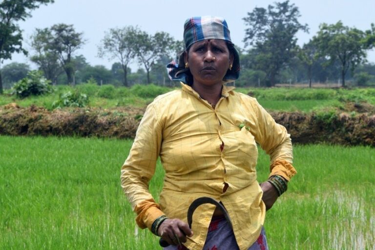
In January 2020, when the ISFR 2019 was released, Mongabay-India had reported that the decline in forest area in northeast India has been an ongoing trend with the region witnessing a loss of about 3,199 sq. km. of forest area between 2009-2019. This is worrying because India’s northeastern region – Arunachal Pradesh, Assam, Manipur, Meghalaya, Mizoram, Nagaland, Sikkim and Tripura – is one of the 17 biodiversity hotspots of the world. The region with just 7.98 percent of the country’s geographical area accounts for nearly 25 percent of India’s forest cover.
According to the ISFR 2021, India’s total forest cover is 713,789 sq. km. (21.71 percent of India’s geographical area) while the tree cover is estimated to be 95,748 sq. km. (2.91 percent of India’s geographical area). The latest report said the country’s total forest and tree cover is 809,537 sq. km. (24.62 percent of geographical area) shows an increase of 2,261 sq. km. (0.28 percent) compared to the 2019 version. The increase in the forest cover, according to the latest report, is 1,540 sq. km. in and that in tree cover is 721 sq. km.
It said the top five states in terms of increase in forest cover are Andhra Pradesh (647 sq. km.), Telangana (632 sq. km.), Odisha (537 sq. km.), Karnataka (155 sq. km.) and Jharkhand (110 sq. km.), while the top five states showing a major loss in forest cover are the five northeastern states – Arunachal Pradesh (257 sq. km.), Manipur (249 sq. km.), Nagaland (235 sq. km.), Mizoram (186 sq. km.) and Meghalaya (73 sq. km.).
It also highlighted a decrease of 902 sq. km. in 140 hill districts of the country.
Kanchi Kohli, an environmental researcher with the Centre for Policy Research, said, “These reports hide more than they reveal.”
“A state of forest needs to as much about calculating forest lands and trees as it should be about acknowledging that India’s forest cover is a stressed asset. The ISFR is an assemblage of numbers that neither give a clear sense of the quality of forests and their socioeconomic uses nor a sense of tree cover. Understand the social life of forests was never a part of the FSI’s methodology. But these reports don’t even attempt to reflect that forest lands may be empty of trees and lands with tree cover may be a fruit orchard waiting to be farmed,” Kohli told Mongabay-India.

Read more: Protect India’s forests and urban green spaces, says India’s climate change report
Why there is opposition to the forest cover report?
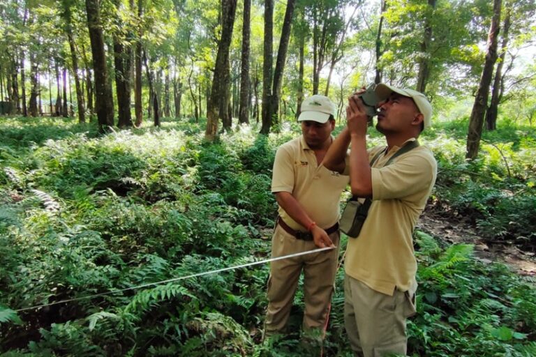
Commenting on the widespread criticism of the ISFR methodology, Raj Bhagat, a remote sensing expert, told Mongabay-India that the problem is that the areas that are considered forest under the report may not resemble forest at all. “With the remote sensing technology, even patches of trees in an urban city can get counted under the forest cover. But trees or patches of trees doesn’t mean forests. For me, a forest area needs to be decided on the basis of an ecosystem … there has to be a balance between the use of remote sensing data and checking that data on the ground,” said Bhagat.
For instance, after the ISFR 2021 was released, Bhagat tweeted a set of images – a Google map image of an area of Delhi and an image from the ISFR 2021 for the same location – showing how the ISFR report “classifies most of the trees in roadside and big government plots in New Delhi as moderate dense and open forest”. The area shown in images is mainly Lutyens’ Delhi, a VIP zone in the national capital which is home to top ministers and officials of the Indian government.
“Remote sensing data should be used but should not be used as the only source to define forest cover. It can monitor the presence of trees and once the patches of trees are identified, local teams should carry out the survey and then together the data should be interpreted. Otherwise, entire cities including the area around our parliament in Delhi, coconut trees, and coffee/rubber plantations will continue to be counted under forest cover,” he said.
The report also claimed to have mapped the forest cover in seven megacities – Delhi, Mumbai, Hyderabad, Bengaluru, Ahmedabad, Chennai and Kolkata – where it said the total forest cover is 509.72 sq. km., which is about 10.21 percent of the total geographical areas of the cities. It calculated the decadal change in forest cover of these cities and noted an overall increase of 68 sq. km. over the last 10 years. This is interesting as India’s megacities are constantly growing in population and the pressure on resources is increasing.
The report said while there is an increase in forest cover in Hyderabad (48.66 sq. km.) and Delhi (19.91 sq. km.), Ahmedabad and Bengaluru have lost forest cover of 8.55 sq. km. and 4.98 sq. km. respectively.
M.D. Madhusudan, an ecologist, publicly commented on the discrepancies in the ISFR 2021 on the social media platform, Twitter. He highlighted how densely populated areas in India’s cities and areas under coconut trees have been classified as areas under forest cover. “Despite (the) ISFR claims of rising forest cover, there is little evidence to show that India’s natural forest cover has actually increased; in fact, it has very likely declined. The purported gains are largely come from FSI’s problematic and perverse redefinition of ‘forest’,” he tweeted.
In his series of tweets, Madhusudan alleged that with such reports claiming the rise in forest cover the authorities can continue diverting (actual) forest areas for energy, infrastructure and industry projects. Mongabay-India has reported on several occasions how precious forest areas, in some cases pristine ones, in the country are diverted for projects despite serious objections irrespective of which political party is in power. “Who could be against an increased diversion of forests if it can be shown that forest cover too is increasing?” he tweeted, while adding that the rising forest cover also offers bright prospects in global carbon trade, where countries adding forest cover could trade their carbon gains to offset emissions of other countries for money.
Kanchi Kohli said, “A stack of numbers in the ISFR 2021 is merely an attempt to satisfy domestic policy and international climate offset targets.”
“Anything that beeps as forest cover on the satellite radar satisfies the objectives of the report. Both central and state governments are setting themselves up to abandon forests in exchange of investment agreements. At the same time the record of forest rights continues to navigate the highly compromised post-colonial legacy of forest conservation and marginalised rights,” she emphasised.
Read more: Natural, biodiverse forests more reliable at fighting climate change than plantations
India’s entire forest cover could be under climate change hotspots by 2050
The ISFR 2021 also carried out mapping of climate change hotspots in Indian forests using computer model-based projection of temperature and rainfall data, for the three future time-period – 2030, 2050 and 2085. Climatic hotspots here mainly refer to forests that will be impacted by climate change and experience changes in temperature and rainfall.
It said by 2030 almost 45-64 percent of India’s forest cover will fall under climate hotspots while by 2050 entire forest cover of the country is estimated to be covered under climate change hotspots with varying severity. By 2085, it said, 20 percent of India’s forest cover may experience “catastrophic changes due to adverse impact of climate change.”
The areas that are likely to experience catastrophic effects include territories of Jammu and Kashmir, Himachal Pradesh, Uttarakhand, northeastern states such as Assam, Manipur, Mizoram, Meghalaya, Tripura and some parts of central India and Gujarat.
The report also assessed forest cover in the tiger reserves and corridors and lion conservation area of India. It said tiger reserves occupy about 74,710 sq. km. (about 2.27 percent of India’s area) and the assessment shows the forest cover in tiger reserves is 55,666 sq. km., which is about 74.51 percent of the total area of tiger reserves and 7.8 percent of India’s total forest cover.
It said the decadal assessment of forest cover in tiger reserves shows “overall gain in forest cover” in 20 tiger reserves during the past decade while 32 tiger reserves recorded an overall loss of forest cover.
Meanwhile, in the case of lion habitat, a decrease of 33.43 sq. km. of forest cover was observed in the report in the last decade.
Ritwick Dutta questioned that when the government of India can claim that they have photographed the majority of the tigers present in India, “why can’t exhaustive ground-truthing be carried out for the forest report?”
“Increase of forest and tree cover in some tiger reserves and lion habitat may not entirely be good news. It is a case of misplaced priorities. If we want to do such an exercise, we should assess loss of forest cover in elephant habitat and corridors as we regularly see increasing human-elephant conflict due to projects taking away their habitat,” Dutta said.
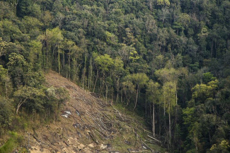
Banner image: Forests in India are losing ground to monoculture plantations, affecting their diversity and suitability as habitats for wildlife. Photo by Melanurya/Wikimedia Commons.


