- The India Meteorological Department’s announcement of a ‘normal’ 2021 southwest monsoon does not reveal the complex regional and temporal variations that the granular rainfall data reveals.
- A slew of extreme weather events between June and September shows that variable rainfall led to long dry spells in some places, and cloudburst and flooding in others, a trend that has been strengthening in recent years.
- The increasingly erratic rainfall, caused by climate change affects agriculture and thereby the GDP of the country.
Aggregate numbers sometimes hide more than they reveal. On September 30, the India Meteorological Department announced that the southwest monsoon was normal in 2021 since the country received 870 mm of rainfall between June and September.
According to the department’s long-period average (LPA) calculated on rainfall data collected between 1961 and 2010, the summer monsoon, which accounts for about 70 percent of India’s annual precipitation, is pegged at 880 mm. At 99 percent of the average, the Met Department called the season ‘normal,’ as it does when the range is between 96 and 104 percent of LPA.
Although the aggregate shows normalcy, the wide regional and special variations in precipitation in the four months reveal that the rainfall was anything but normal this year. A detailed analysis of rainfall data shows that the monsoon arrived with a bang in June, played hide and seek, but vanished in the core months of July and August, and returned with extremity before its scheduled withdrawal in September, throwing all weather prediction models off kilter.
The weather department did not fail to take notice of this variability. “Considering the month-to-month rainfall variation over India as a whole, the season is very uniquely placed in the historical record for its distinct and contrasting month-to-month variation,” it said in a statement.
Challenges of unpredictable weather
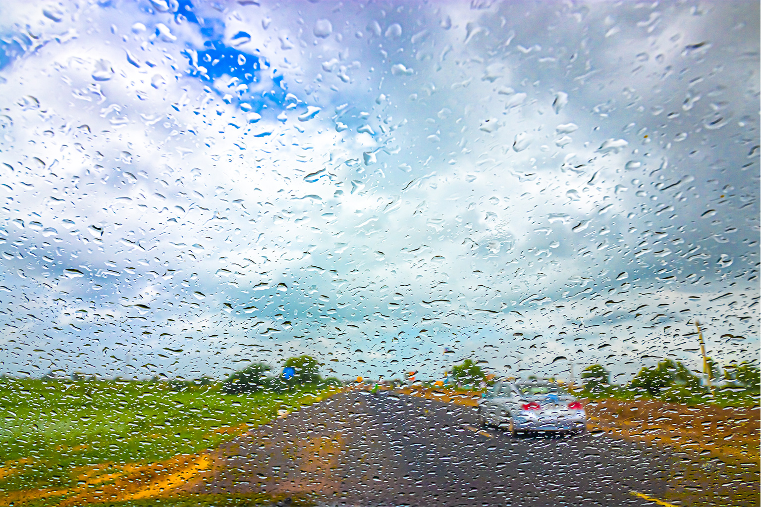
This unpredictability is likely to make weather forecasting an increasing challenge, a government weather scientist said on condition of anonymity. The changing weather dynamics not only holds grave implications for the country’s economy but will also make life harder for farmers who depend on timely rains to cultivate their main crop during the summer monsoon season, he said.
From long dry spells to excessive rainfall, monsoon 2021 was a season of extremes, meteorologists say. In areas that usually receive deficit rainfall, which include western Madhya Pradesh, eastern Rajasthan and the Marathwada and Vidarbha regions of Maharashtra, rains were plentiful this year, official data show. In contrast, the typically rainiest areas of the country, such as Odisha, Kerala and the northeast, struggled to meet their average rainfall quota.
This erratic distribution of rainfall and the increasing occurrence of extreme weather events in 2021’s southwest monsoon clearly point to the impact of climate change, the country’s top meteorologist said.
“Extreme weather events are the clear-cut result of climate change,” said Mrutyunjay Mohapatra, director general of meteorology, India Meteorological Department, adding, “The frequency of heavy rainy days during the monsoon has increased, and the frequency of light rainy days have decreased.”
This co-relation was not immediately apparent at the beginning of the monsoon season. The rains began around the near-normal date in the onset month of June. It progressed steadily in the first two phases in the southern peninsula, and east and northeast India before stalling in its third phase in the northwest of the country, official data show. The month ended with a surplus rainfall of 110 percent of LPA, which was a healthy sign, although there was a dry spell at the end of the month.

See-saw monsoon
The situation started going haywire in the first core month of July, which began with a long dry spell. Despite a good beginning in June, by July 11, the total rainfall in the country plummeted to 92 percent of the LPA.
There was worse to follow. August 2021 made history by being the sixth driest month since as far back as 1901, when Indians started maintaining records, and the first since 2009 when the country suffered widespread drought. The monsoon all but vanished, with the month recording a 24 percent deficit.
However, when most of India was sweltering in the heat between the end of June and the end of August, there was torrential rainfall in the Himalayan states of Himachal Pradesh and Uttarakhand, washing away entire villages and causing millions in damages.
“Barring a few days, the countrywide cumulative rain deficiency on a daily basis was 30%-40%. Prolonged dry spells from August 4-25 pushed the country towards drought-like conditions,” said G P Sharma, President, Meteorology and Climate Change at private forecaster Skymet Weather.
The southwest monsoon held further surprises in September, when it started withdrawing from the Indian sub-continent. It is usually next to impossible to recover from a deficit as high as 24 percent, as seen in August. For instance, in the widespread drought year of 2009, the rains fell short by 26 percent in August, followed by a deficit of 19 percent in September.
However, this year saw extreme rainfall in September, which made up for all the shortfalls in the previous two months. The month saw as much as 135 percent rainfall in a significant departure from its long-period average, Met department data show.
“Such a rebound is quite rare. From extreme failure in August to extreme recovery in September is nothing short of a miracle,” said Sharma. “The month on its own was able to pull the countrywide rainfall from the below normal to normal category.”
Such excessive rainfall is not good news. Farmers in Maharashtra, Madhya Pradesh, Telangana and Odisha, who had struggled with planting their crops in the unusually dry June, now saw extensive damage to standing crops that were ready for harvest due to the unseasonal heavy rainfall. The total damage to crops due to heavy September rains is yet to be calculated but experts estimate it would be quite hefty.
Read more: Floods, cyclones caused maximum deaths by extreme weather events in past 50 years

Extreme weather is here to stay
The erratic rainfall during this year’s monsoon season also points to one of the most harmful effects of climate change — extreme weather events. Ever since climate scientists Syukuro Manabe and Klaus Hasselmann, who shared one half of the Nobel prize for physics this year, started developing predictive, physically-based climate models in the 1980s, there has been increasing scientific evidence that humanmade global warming will change weather patterns.
This is nowhere truer than in the case of the two annual monsoons in India. Trends of the southwest monsoon in recent years have shown that the rains are becoming increasingly erratic. It also shows that extreme weather events have now become normal.
Monsoon 2021 was no exception. Extreme rainfall in the western Himalayas in June at a time large parts of central and southern India was experiencing drought-like conditions show that India continues to suffer from extreme weather events.
An analysis by the non-profit South Asia Network on Dams, Rivers and People (SANDRP) reveals that there were numerous occasions when there were cloudbursts in the Himalayan state of Uttarakhand during the June to September monsoon.
There has been a sharp increase in the number of cloudbursts and mini cloud bursts in the hilly states in past 126 years from 1926 to 2015, SANDRP said, citing research by scientists at the Indian Institute of Tropical Meteorology in Pune, who have sought to redefine rainfall exceeding 50 mm in two hours as mini cloudbursts.
Globally short-duration rainfall extremes will grow more severe and frequent, Vimal Mishra of the civil engineering and earth sciences department at Indian Institute of Technology Gandhinagar, was quoted as saying in a media report. Cloudburst events are expected to increase in the future with warming climate.
More than 75 percent of India’s districts are now exposed to extreme weather events, according to an analysis from December 2020 by the Council for Energy, Environment and Water (CEEW), a New Delhi-based think tank. Over 40 percent of the districts have experienced climatic disruptions such as a shift from being flood-prone to being drought-prone, or vice-versa, the analysis found.
The global change in weather patterns are also leading to extreme weather and erratic rainfall. For instance, loss of sea ice in summer is leading to late season rainfall extremes in India, scientists say.
Changes in faraway oceanic currents are also to blame. “The erratic evolution of the monsoon through July and August can be attributed to Atlantic Niño, the little brother of the El Niño. This season, the sea-surface temperatures over the tropical eastern Atlantic were warmer than normal. The strongest Atlantic Niño event of the past 40 years occurred during June-August,” said Raghu Murtugudde, an earth system scientist at the atmospheric and oceanic science department at the University of Maryland in the United States. “We can blame the significantly fewer low-pressure systems in 2021 on the Atlantic Niño. Monsoon 2021 is a clear example of this missed link.”
There is increasing evidence that the southwest monsoon sees a lower number of rainy days but heavy to extreme rainfall on some days that lead to flooding in urban areas and damage to crops in villages. Such extreme rainfall also leads to landslides in places as far apart as Uttarakhand in the north to Kerala in the south.
The reduction of rainy days also leads to long dry spells. In 2021, there were “large gaps between the rainy spells, increasing the dry spells,” said Mahesh Palawat, Vice-President, Meteorology and Climate Change, Skymet Weather.
This has serious implications for the economy. Farmers are unable to plan their cultivation well. As a result, agriculture, which contributes between 16 to 20 percent of GDP, according to Finance Ministry data, suffers. Although aggregate farm output is yet to be significantly hampered, smallholder and marginal farmers are impacted if their harvest is lost.

Another significant change that experts have noted is that northeast India, which after the west coast receives the highest rainfall in the country, is now increasingly seeing a deficit, as in this year’s monsoon. In the last decade, east and northeast Indian states have seen below-normal rainfall every year, barring 2020. “This consistent deficiency of rainfall can be attributed to the changing weather patterns,” said Skymet’s Sharma.
The last but not the least rare event this year was Cyclone Gulab, only the third tropical storm in this century that formed in the Bay of Bay Bengal in September. Cyclones in the Bay of Bengal usually form between October and December, and Cyclone Gulab was thus a notable exception.
It is now becoming clear that extreme weather events have become more common than even a few decades ago, and the effect will be felt across the country. Climate change no longer belongs to the realm of scientists alone, millions are now being affected by it. “We can say that weather conditions have modified a lot and the result is in front of us,” Sharma concluded.
Read more: IPCC report warns India likely to see more extreme weather events
Banner image: A woman walks through flooded water after a cyclone. Photo by Anil Gulati for India Water Portal/Flickr.


